What makes a drawing work
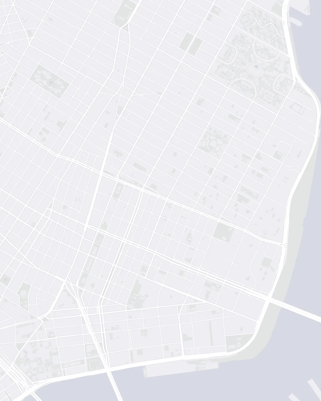
A GPS line can only go where you can run, so every drawing gets snapped to streets. On a grid, each diagonal turns into a staircase and each curve into a chain of corners. The drawings that survive are bold outlines with one feature people recognize: the dip at the top of a heart, a cat's ears, a rocket's fins.
Size matters more than you'd expect. Think of each block as a pixel. A drawing six blocks across can't hold much detail, so a simple heart reads fine at 2 to 3 miles, and anything with legs and a tail wants 6 or more.
 © OpenStreetMap
Small details like eyes, antennae or a stem are a problem, because you can't lift the pen. The fix is a spur: run out to the detail and back the same way. On the map, an out-and-back reads as one line.
Plan the route yourself
- Choose a shape. Start with something that's mostly one closed loop, like a heart, a star or a fish. Skip anything that depends on thin lines or lettering until you've done a few.
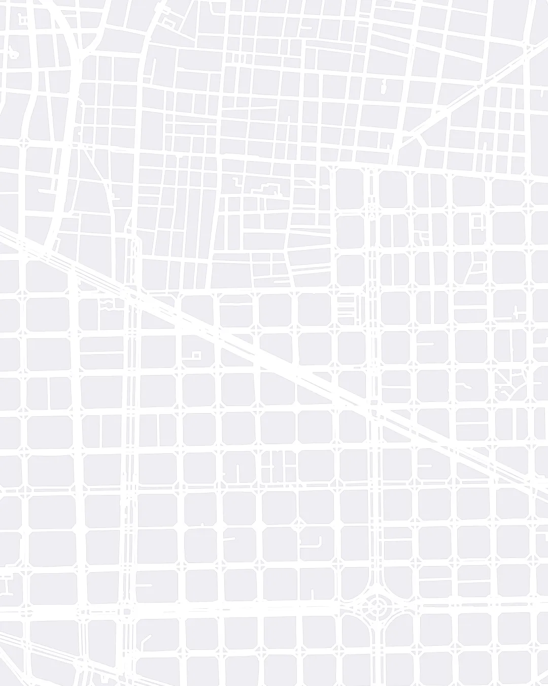
- Find a street grid. Regular grids make the easiest canvas: Manhattan, Chicago, Philadelphia's Center City and Barcelona's Eixample are famous for it. Parks, rivers and highways are holes in the canvas, so keep the drawing clear of them.
- Trace it over a map. Open a route planner that snaps to roads (Strava's route builder, Garmin Connect and Komoot all do) and click your way around the shape corner by corner. Sketching on a printed map first is quicker than it sounds.
- Zoom out and be honest. Shrink the route to thumbnail size. If you can't tell what it is, nobody scrolling past will either. Cut detail before you add distance.
- Get it onto your watch or phone. Save the route or export it as a GPX file, and load it into whatever you'll follow on the run. A watch that shows the line is the easiest to follow. A phone in your hand works, but slows you down.
 © OpenStreetMap
Run it without breaking the line
- Let GPS settle first. Wait for a solid fix before you start. Tall buildings bounce the signal, so expect a wobbly line in dense downtowns and pick wider streets where you can.
- Don't pause and move. If you pause the recording, walk somewhere and resume, the map joins the two points with a straight line through whatever's in between.
- Run the corners square. Go all the way to the corner before you turn. Cutting across rounds the corner off, and sharp corners read better.
- Check your map privacy. Strava can hide the start and end of your activities on the map. That's sensible for runs from home, but it also erases the part of the drawing nearest your door, so start somewhere you don't mind showing or change the setting.
Post it
Give the activity a title that tells people what they're looking at. An emoji helps on a busy feed. Then leave the map to do the rest.
The shortcut
Planning a good route takes longer than running it, so I built Mystery Run to skip that part. You pick a distance and the app fits one of 37 drawings to the streets around you. A voice calls every turn, the phone stays in your pocket, and you don't find out what you drew until the end. When you save the run it posts to Strava with the drawing in the title.
The catch is that you don't choose the drawing. If you've got a particular giraffe in mind, plan it by hand. If you'd rather be surprised, try it.

Questions
Does Strava art count as a normal run?
Yes. Distance, pace and time count the same as any other run. It just looks better on the map.
Can you make Strava art on a treadmill?
No. The drawing comes from GPS, so it has to be outside.
What's the easiest Strava art for a first try?
A heart. It's one loop, it survives most street grids, and it fits in 2 to 3 miles.
How long does it take to plan?
By hand, expect a simple shape to take longer to plan than to run. With Mystery Run it takes a few seconds in the 49 cities that are mapped ahead of time, and under a minute anywhere else.